
Airline Software License

The Airline Software License provides a comprehensive flight planning and mission preparation solution specifically engineered for high-precision aerial mapping operations. It ensures optimized workflows from initial mission area definition through to final geospatial delivery.


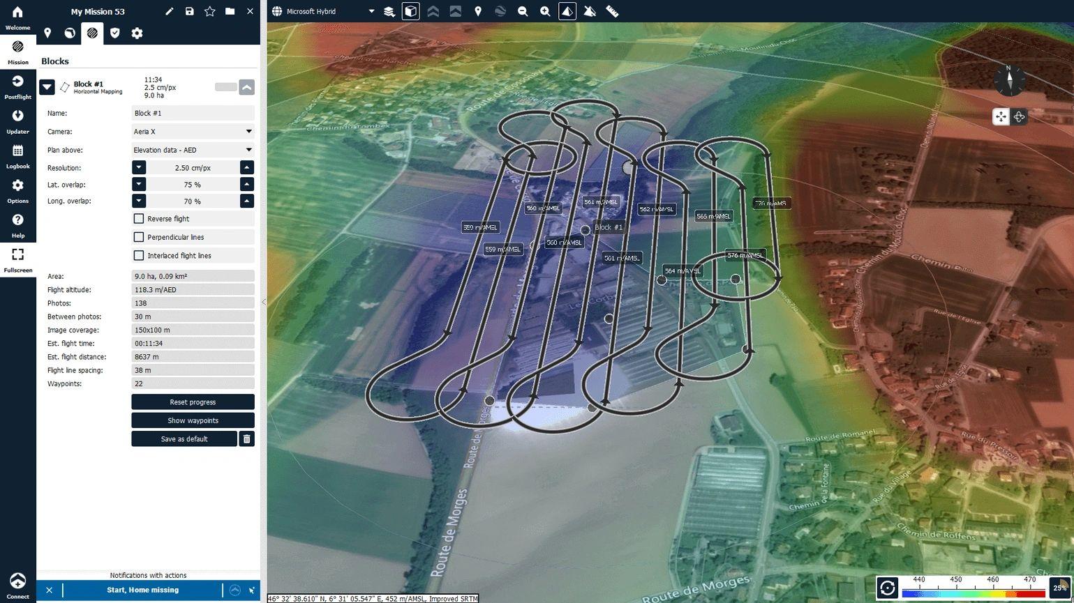
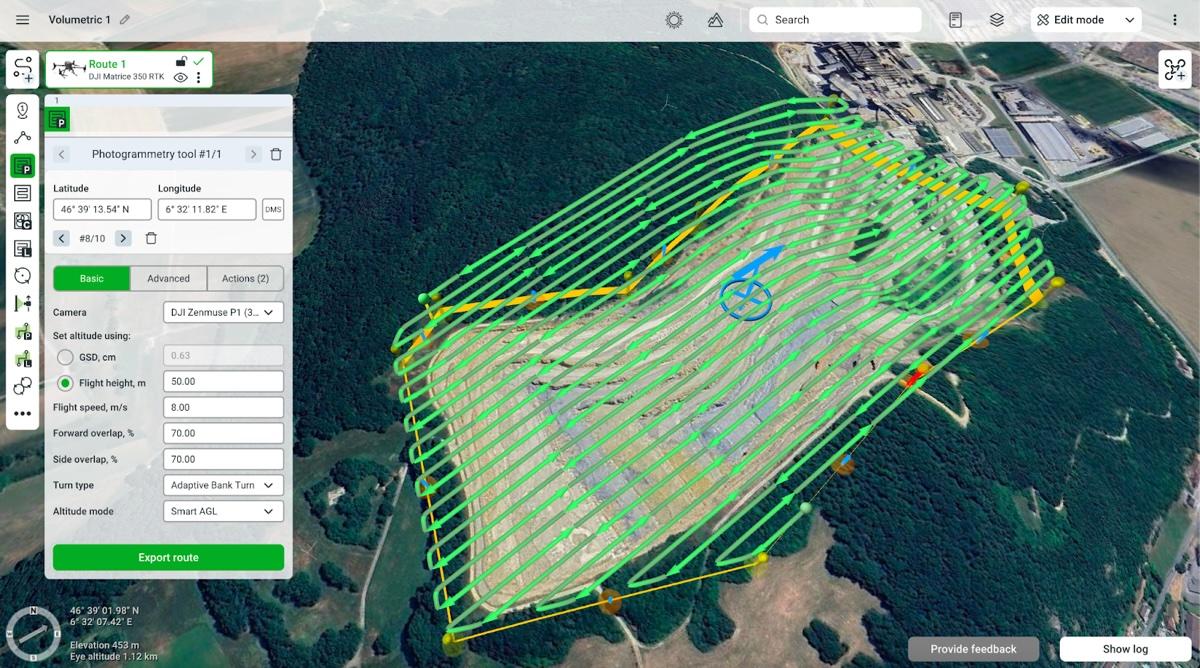
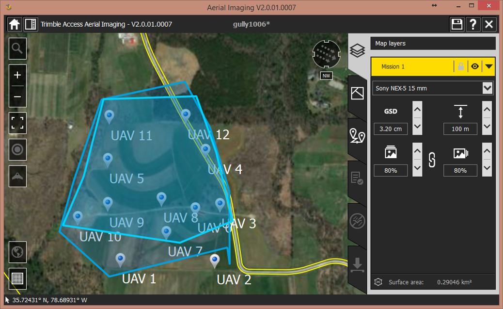
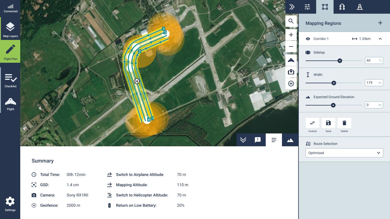
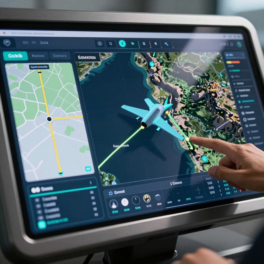
Key Capabilities
MISSION AREA DEFINITION
FLIGHT-LINE PLANNING
SURVEY PARAMETER CONFIGURATION
ROUTE OPTIMIZATION
MISSION VISUALIZATION
OPERATIONAL PLANNING
GEOSPATIAL WORKFLOW INTEGRATION
Applications

Aerial Photogrammetry

LiDAR Survey

Topographic Mapping

Infrastructure Survey

Utility Mapping

3D Mapping

Corridor Mapping
Ecosystem Integration
The airline software is a core component of the Futura technology ecosystem, designed for seamless operational synergy with the AISP410, IMGBOX Computer, and Inertial Explorer. It integrates directly with Air Route for navigation, SWDC_Pro for data control, and 3D Cluster Modelling Software to deliver comprehensive geospatial intelligence.
Project Requirement
Mission Planning
Flight Route Optimization
Sensor & Acquisition Configuration
Aerial Data Acquisition
Data Processing
3D Mapping & Geospatial Deliverables